Pennine Hills - The Backbone of England.
- Pennine Hills stretch from the Cheviots near to the Scottish Border in north to the Dark Peak in the south
- Include areas :
- Kielder Forest and Northumberland National Park
- Northern Pennine including Cross Fell
- The limestone areas of the Yorkshire Dales National Park
- Howgill Fells
- Southern Pennines Around Halifax, Bradford
- Peak District
Skipton
Current Weather
Last Updated today at : 13:02:41
| Overall : | overcast clouds |
| Temperature : | 3degC. |
| Wind Speed : | 3km/hr. |
| Wind Direction : | ESE |
| Clouds : | overcast clouds |
| Precipitation : | none |
| Sunrise : | 9:04:51 |
| Sunset : | 17:36:02 |
| (Times are BST) |
Data from openweathermap.org
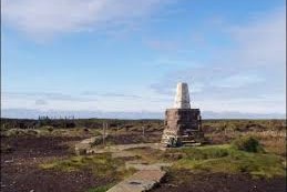
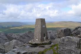
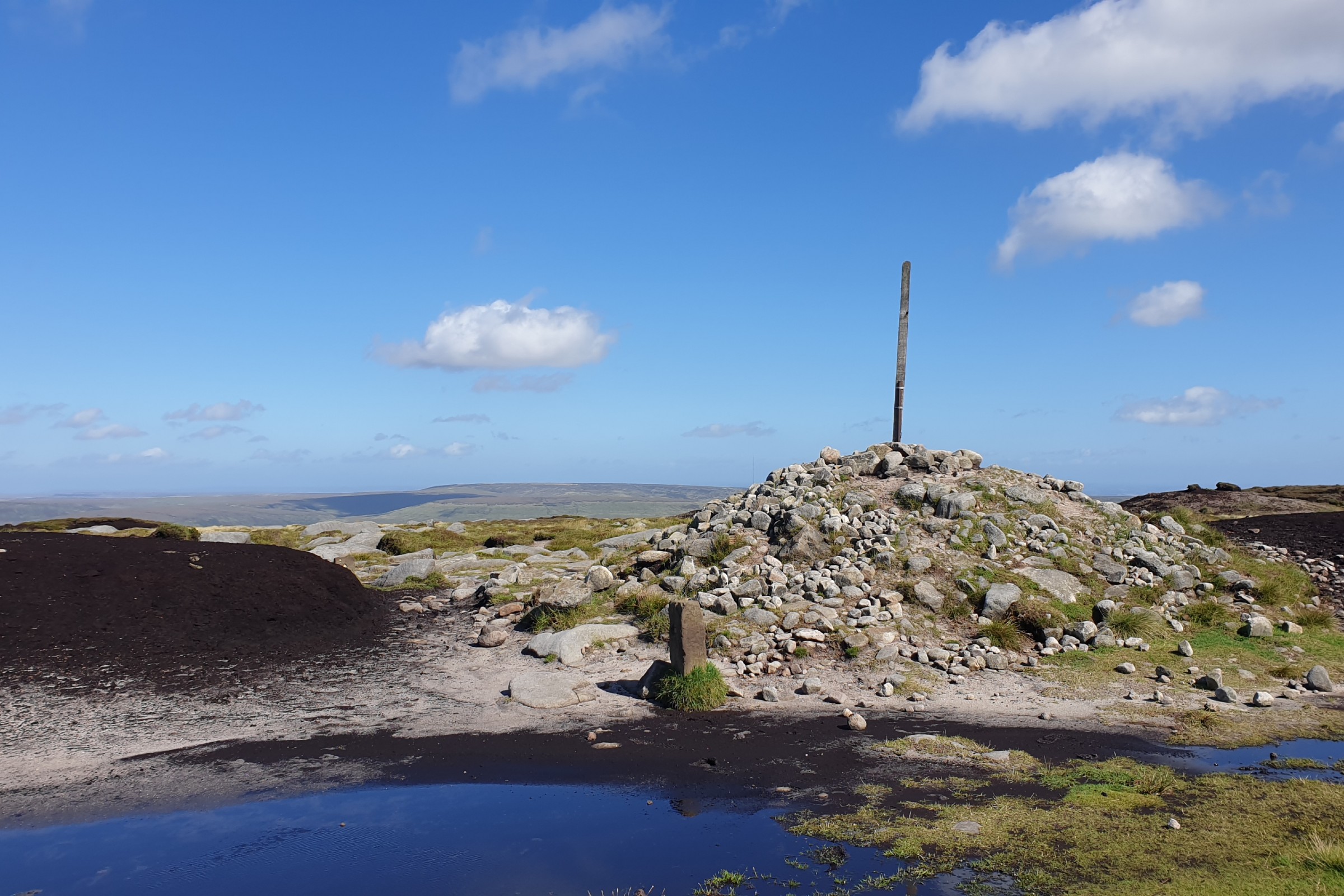
The Pennine Hills (or Pennine Chain) is the range of hills stretching from around Edale in the Peak District through the Souther nPennines, Yorkshire Dales, and Northern Pennines to the Tyne Gap. Some would arge that the Cheviots, which take us from the north of the Tyne Gap to the Scottish Border, should also be included. As many will remember from geography lessons, this is the backbone of England. Much of this land is desolate moorland and gives a feeling of remoteness in areas near to the large cities of northern England.
Within this area of rolling moorland, rather than the sharp peaks of the Lake District, it makes objectively identifying the hills of the area difficult. There are many lists of hills covering this area that can be used. The hills included in this site follow the criteria defined Hewitts, hills over 610m with 50m all around drop. This makes 23 hills in the area defined as the Pennine Hills, above.
For each of these hills is some information about the hill itself and the most convenient route to the top.
© gritstoneedge.co.uk all rights reserved 2015-2026


