Cold Fell
| OS Map : | 86 |
| Start : | Clasketts |
| NY589585 | |
| 223 | |
| Small car park at the end of the road. | |
| Summary : | Clasketts - Cold Fell - ridge(.547) - Tindale Tarn - Clasketts |
| distance : | 9.0km. |
| ascent : | 400m. |
| time : | 3hr. 30min. |

The summit of Cold Fell
go4awalk.com
Penrith
Current Weather
Last Updated today at : 10:25:08
| Overall : | overcast clouds |
| Temperature : | 8degC. |
| Wind Speed : | 10km/hr. |
| Wind Direction : | NW |
| Clouds : | overcast clouds |
| Precipitation : | none |
| Sunrise : | 6:56:04 |
| Sunset : | 19:36:38 |
| (Times are BST) |
Data from openweathermap.org
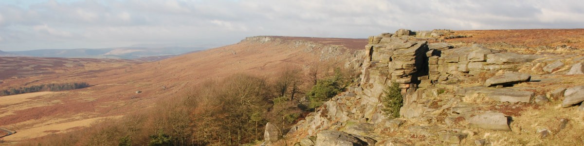
Situated at the top left of the North Pennines is Cold Fell, the most northerly hill in Cumbria. This is a desolate and remote area but still really worth a visit. The best view of the moors is actually from the south at the Hartside Pass. Looking north over the rough moorland and Cold Fell is the high point. It likely that the walker will be alone as this is not a popular area and long way this last as there are few of these around in this busy area. A remote area for a walk but a track high up into the hill and then a walk along the ridge. A circular walk by walking north along the ridge and back via Tindale tarn.
Start just south of Clesketts at the end of the "yellow road".
There are 3 tracks from the parking. Take the middle on up to Howgill and then follow it past the old mines and then all the ay to the ridge. From the high point turn right, south, to reach the high point - Cold Fell. There is a ver impressive cairn and trig point here for such a remote hill bjut this just means there are good views. Looking south and east you can see over much of the North Pennines with Cross Fell standing out. The flats of the Eden valley is the other direction. (4kms. 400m. 2hrs. 0min.)
Now for the way down which can just be a return via the same route but for a circular route head north along the ridge to read the top at the .547. Now you can, on a clear day see Tindale Tarm. Make for the tarn at the south west edge. The track there takes you back to Clasketts. (5kms. 0m. 1hrs. 30min.)
w : https://www.gritstoneedge.co.uk
e :
 My Blog
 gritstoneedge instagram
 gritstoneedge linktr.ee
Disclaimer :This site has links to many adventures in the outdoors, walking or cycling in hills and moors, within the UK. These can be dangerous activities. Conditions can change rapidly in the outdoors. The information and links provided on this site is given in good faith. gritstoneedge.co.uk cannot be held responsible for any loss or injury caused by encouraging you into the outdoors of by the accuracy of the information provided on this site.
© gritstoneedge.co.uk all rights reserved 2015-2026